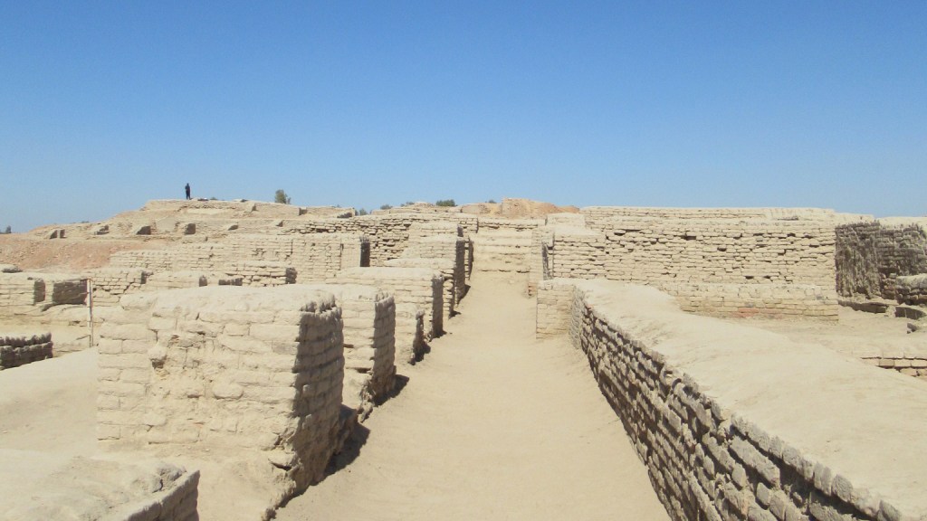
The extensive archaeological features, including architecture, infrastructure, and topography, make MohenjoDaro a perfect case study for this sort of neighborhood analysis. A core research question of this project hinges on these forms of data: Is there a way by which we might plot data points (such as architecture, infrastructure, and artifacts) at different stratigraphic levels? By doing so, we can visualize and study urban planning at different time periods at the site in order to provide additional information about governance and the daily lives of the residents of Mohenjo-Daro. The extent and variety of archeological features found in Mohenjo-Daro, make it a perfect case study for the developed analytical methodologies to be scaled and applied to other urban sites around the world.
LIAVH
Laboratory for Integrated Archaeological Visualization and Heritage
