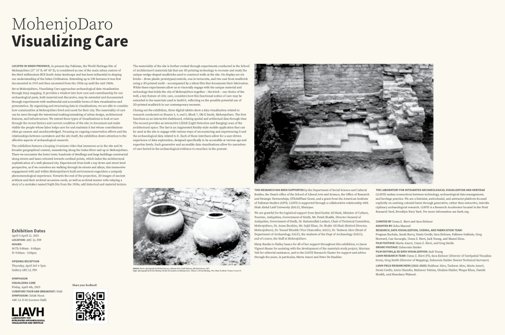
Visualizing Care: MohenjoDaro
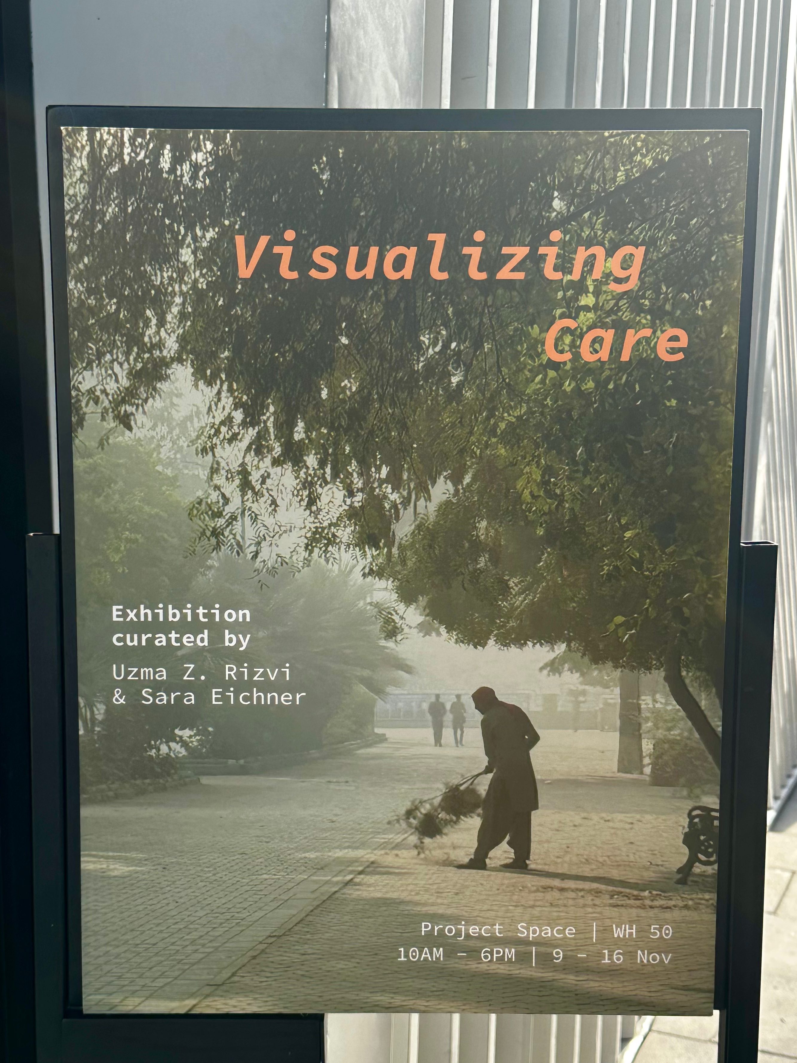
Curated by Uzma Z. Rizvi and Sara Eichner
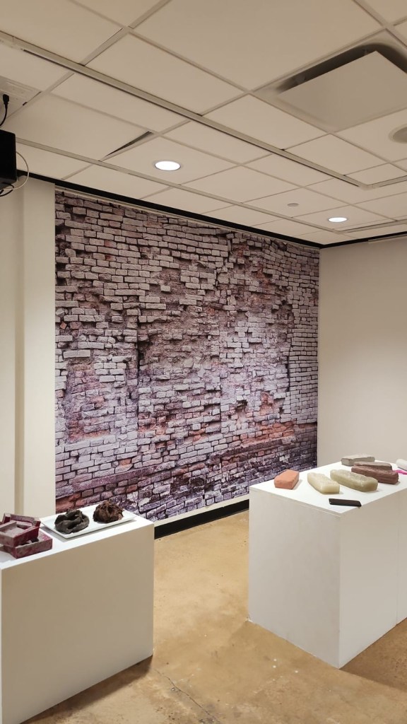
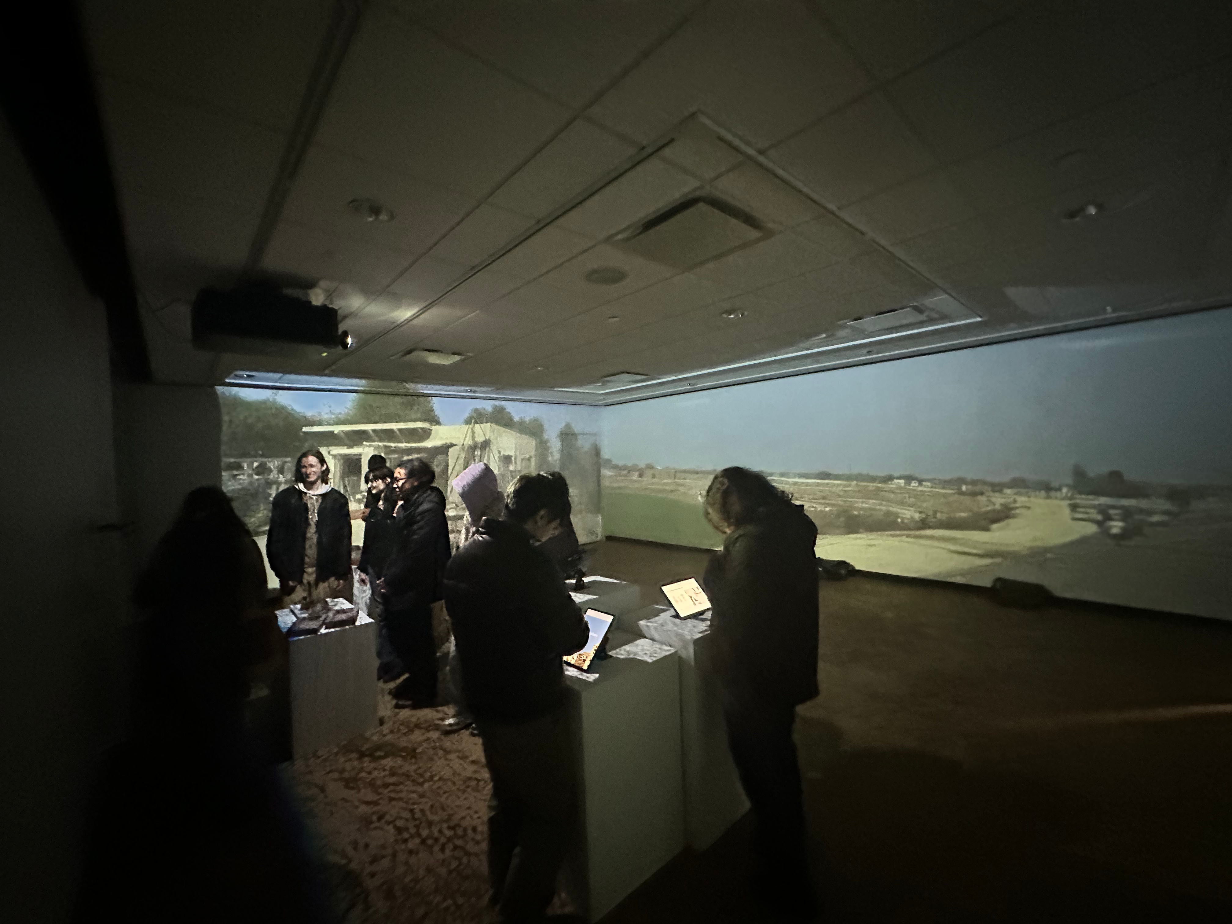
Set in the World Heritage Site of MohenjoDaro (Pakistan), Visualizing Care approaches archaeological data visualization through deep mapping. Experimenting with multimodal and accessible forms of archaeological data presentation, this exhibition provides a window into how care can be documented. The materiality of care can be seen through the intentional making/unmaking of urban design, architectural features, and infrastructure. It can be seen through conservation and the relationships between caretakers and the site itself, drawing attention to the affective aspects of archaeological research.
Exhibition Dates: 9 -16 November 2025
Venue: Warehouse 50, Project Space
Alserkal Foundation, Dubai, UAE
Additional information here
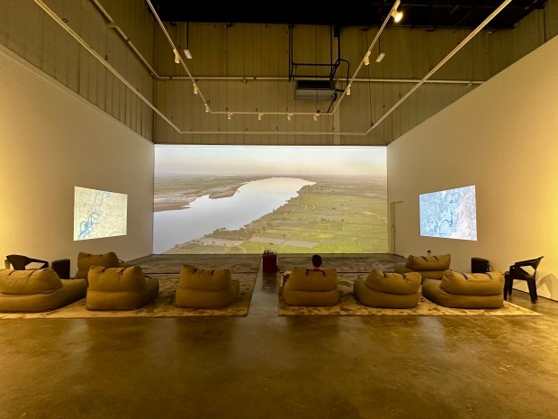

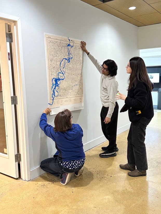
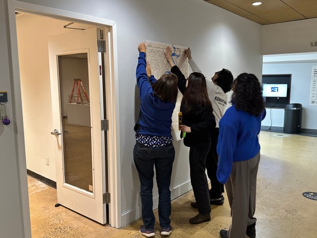
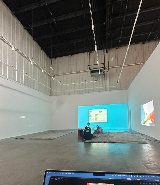
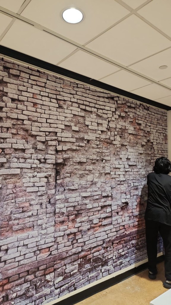
Visualizing Care: MohenjoDaro installation images in Warehouse 50, Project Space at Alserkal Foundation Dubai, 2025.
Production Collaborators


Visualizing Care: Exhibition
Set in the World Heritage Site of MohenjoDaro (Pakistan), Visualizing Care approaches archaeological data visualization through deep mapping. Experimenting with multimodal and accessible forms of archaeological data presentation, including the use of the immersive projector, this exhibition provides a window into how care can be documented. The materiality of care can be seen through the intentional making/unmaking of urban design, architectural features, and infrastructure. It can be seen through conservation and the relationships between caretakers and the site itself, drawing attention to the affective aspects of archaeological research.
This research has been supported by the Department of Social Science and Cultural Studies, the Dean’s office of the School of Liberal Arts and Science, the Office of Research and Strategic Partnerships, STEAMPlant Grant, and a grant from the American Institute of Pakistan Studies.
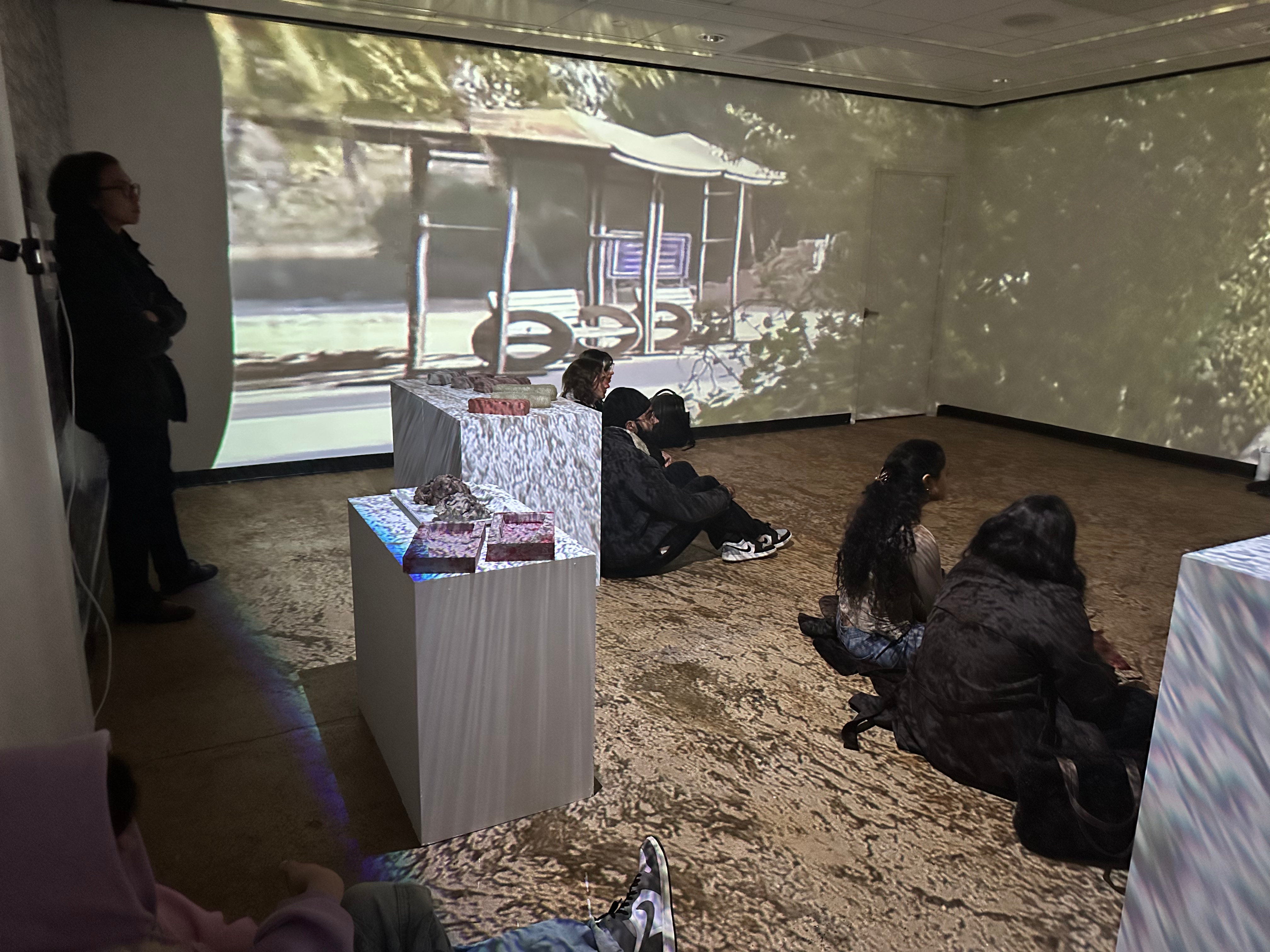
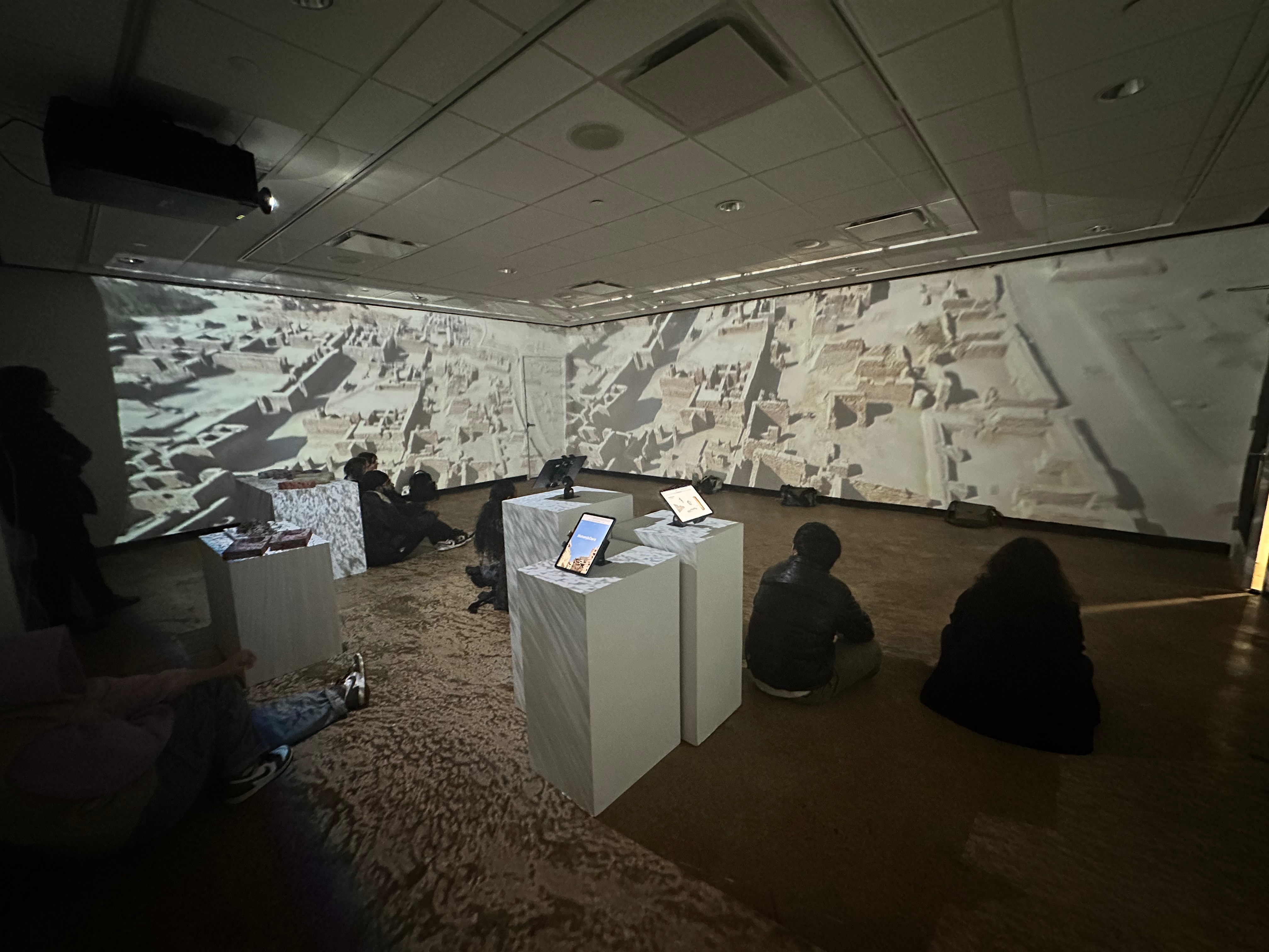
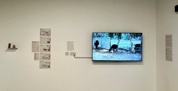
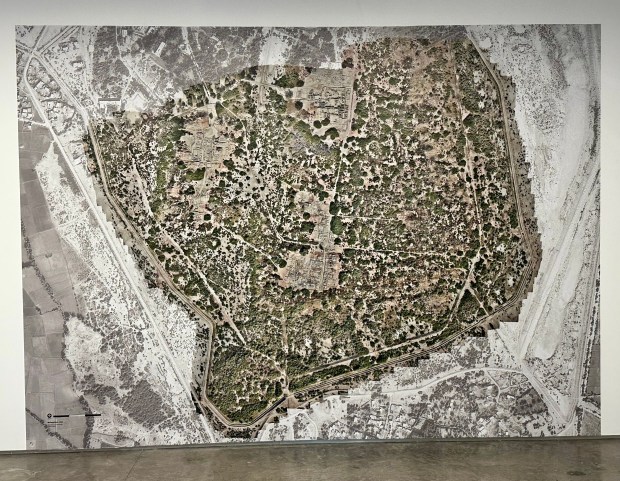
Visualizing Care exhibition images
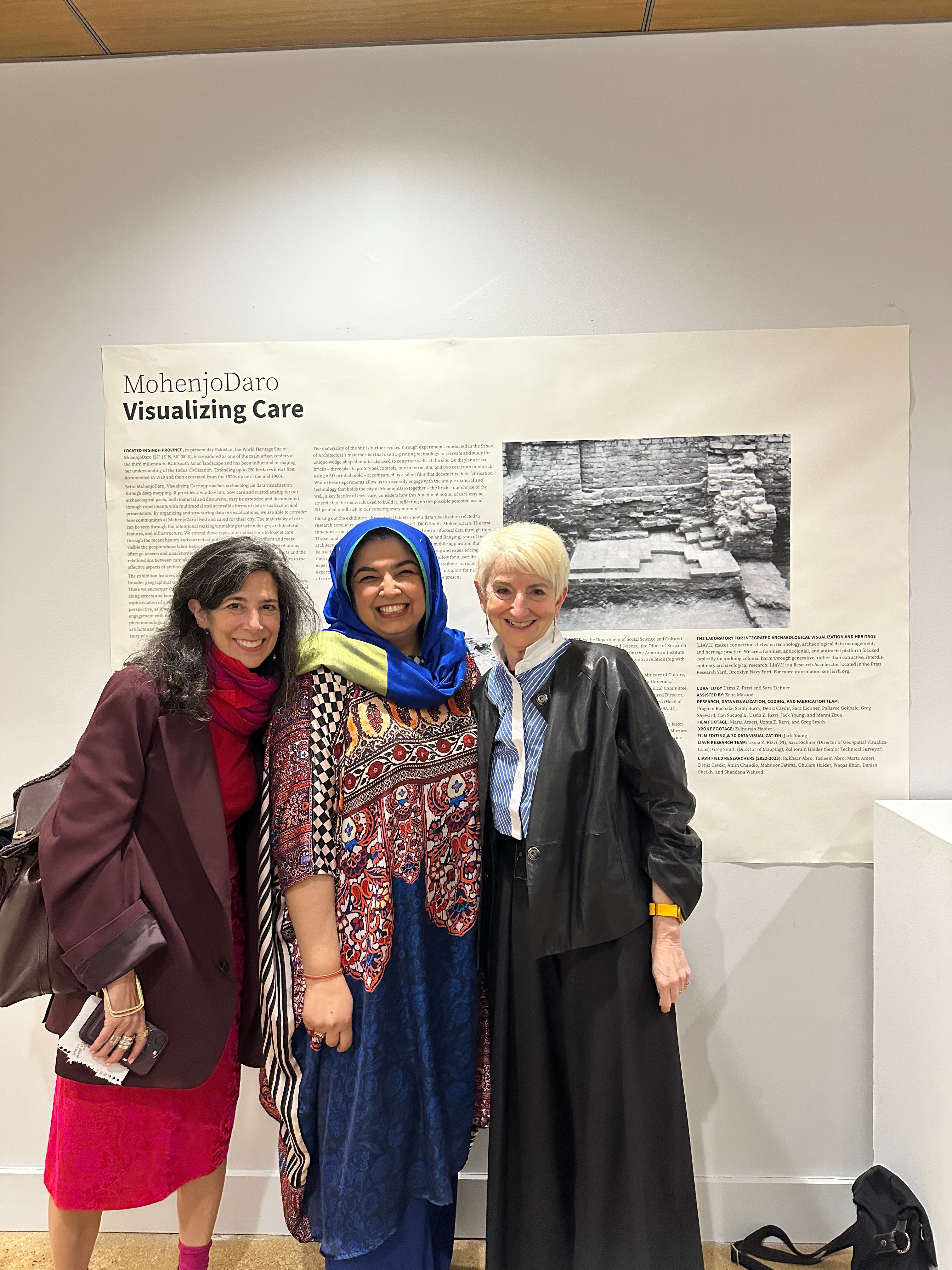
Visualizing Care Opening: (Right to Left) President France Bronet, Professor Uzma Z. Rizvi, and Interim Dean of School of Liberal Arts and Sciences, Professor Karyn Zieve. April 3, 2025
